
The evolution of aerial surveying from its nascent stages in the early 20th century to the contemporary era of satellite imagery is a narrative of technological and methodological advancement. Initially, the ability to interpret landscapes from above was rudimentary, limited by the infancy of aeronautical activities. However, as aviation developed, particularly spurred by wartime needs, the significance of aerial perspectives grew. The use of photography from aircrafts became a pivotal method for understanding and documenting the Earth's surface, aiding in military strategies through the development of camouflage techniques. This paper explores the historical context in which aerial photography emerged as a critical tool for mapping and reconnaissance, highlighted by examples of camouflage used during World War II and the innovative use of aerial imagery in art and education, such as at the Pratt Institute of Art. It further discusses the transition from manual, piecemeal photographic surveys to the modern era's comprehensive, real-time digital mapping technologies. This transition not only marks a significant technological leap but also a shift in our perceptual understanding of the Earth's surface, as detailed through the examination of aerial imagery of airstrips and the conceptual art project "Earth From Above." This project, which organizes aerial images of airstrips and includes simulations of fictional runways, exemplifies the blend of artistic interpretation and geographic analysis. The paper concludes by reflecting on the philosophical implications of this evolution, drawing on Gaston Bachelard's notions of scale and the miniature, to underscore the changing relationship between humans and their ability to conceptualize and visualize their environment from aerial perspectives.
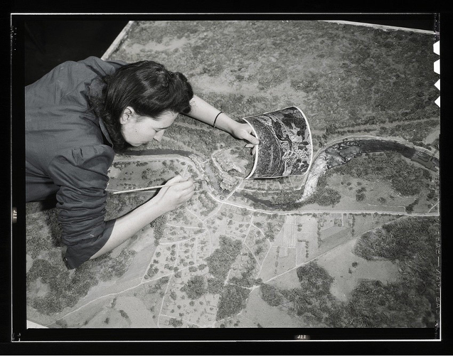
Cover page: Collins, Marjory. 1943. “Camouflage class in New York University, where men and women are preparing for jobs in the Army or in industry, New York, N.Y. They make models from aerial photographs, re-photograph them, then work out a camouflage scheme and make a final photograph.” Library of Congress. https://www.loc.gov/item/2017878858/